Submitted by PhD Candidate, Aaron Tamminga
Between June 19th and 23rd 2013, southwestern Alberta experienced widespread flooding as a result of intense rainfall on a lingering snowpack in the Rocky Mountains. Over 100,000 people were displaced as rivers eroded and overtopped their banks, causing an estimated $1.7 billion in damages throughout the region.
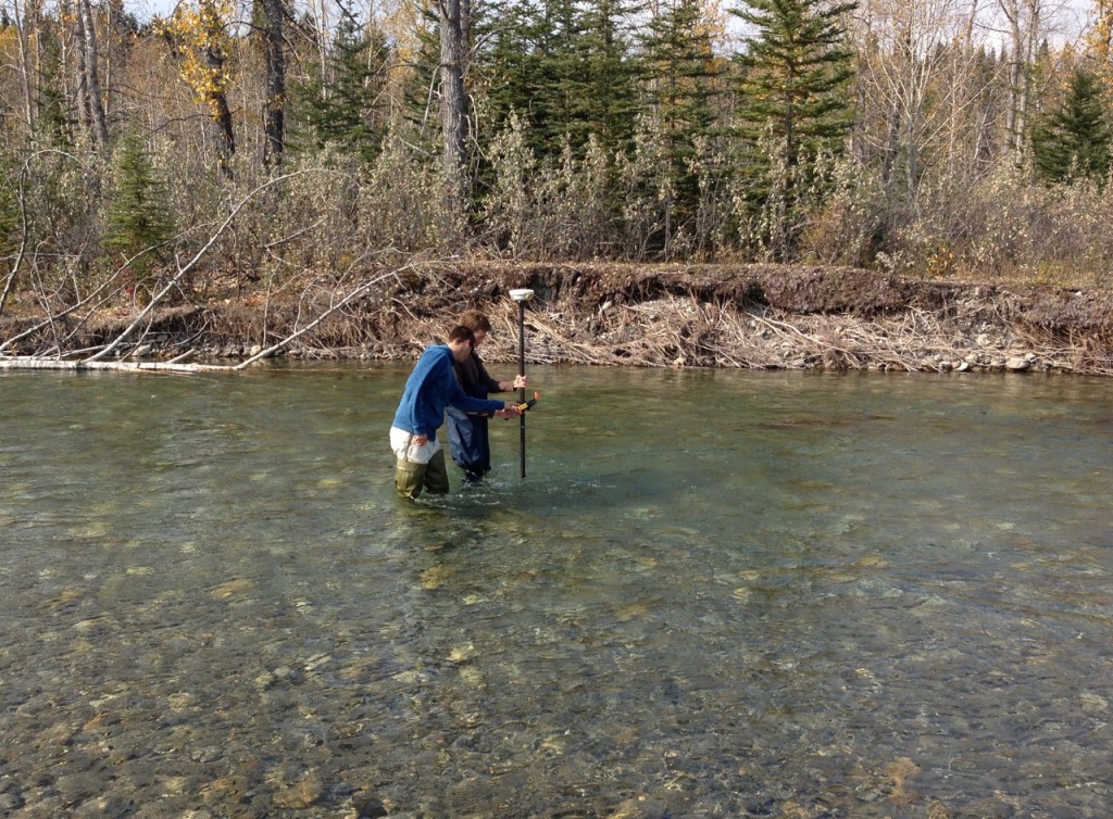
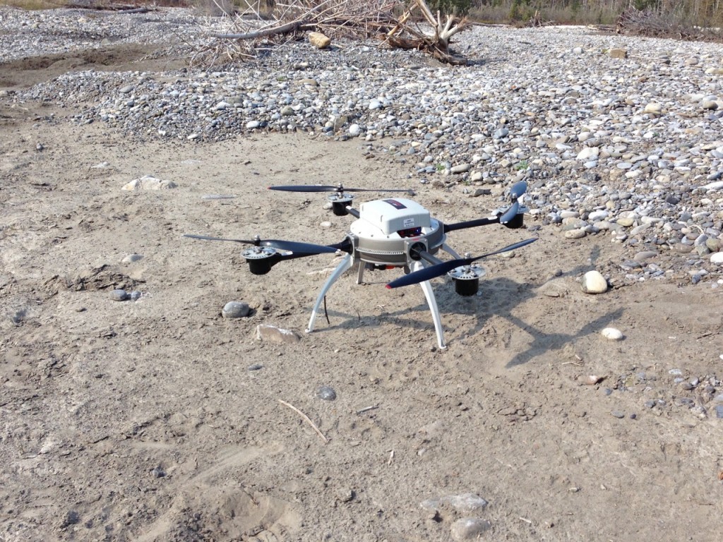
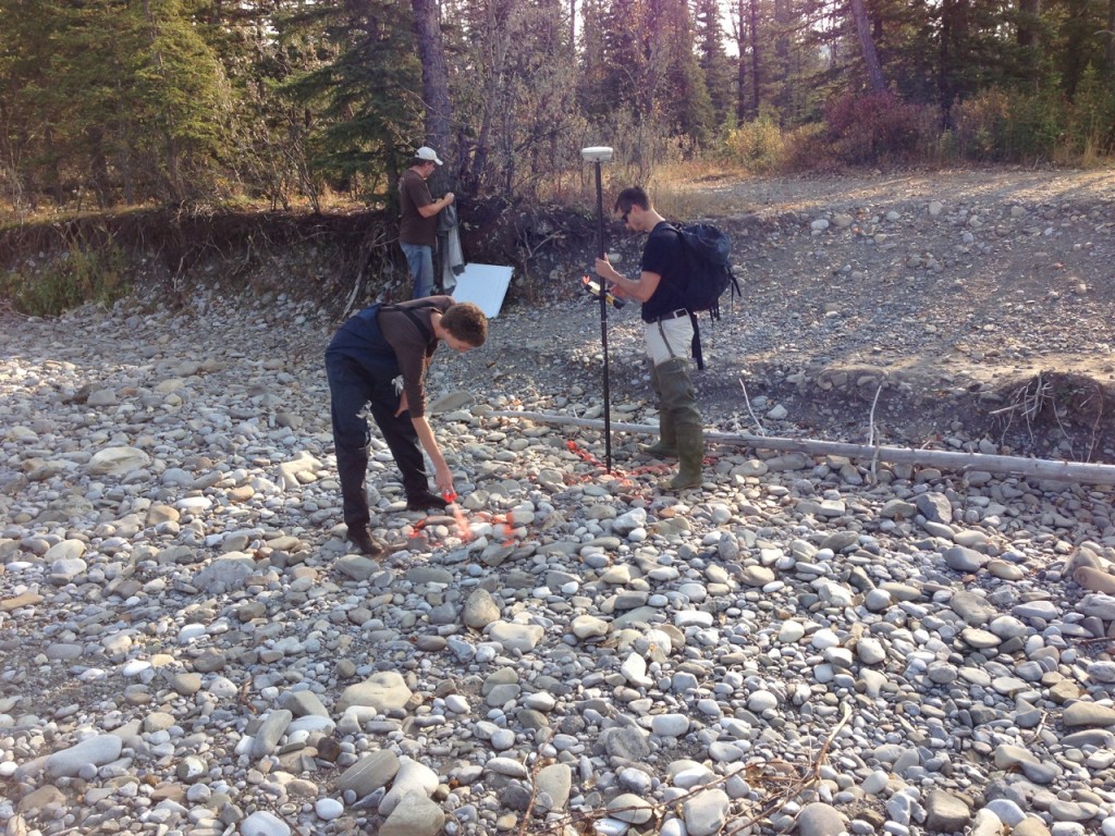
In spite of the tragedy, the flooding provided a unique opportunity for me as a fluvial geomorphologist. With the guidance of Dr. Brett Eaton, I study linkages between physical and ecological processes in rivers. In particular, I’m interested in developing and applying methods based on remote sensing using small unmanned aerial vehicles (UAVs) to characterize river topography and aquatic habitat. In September 2012 (before the flood) I spent a few days on the Elbow River near the town of Bragg Creek, AB with Chris Hugenholtz from the University of Calgary. We performed an initial UAV survey of a 1 km-long section of the river and tested ways of measuring bathymetry, sediment sizes, and brown trout habitat features. When the flood occurred the following summer, we realized we had inadvertently collected an accurate, high-resolution pre-flood dataset – a rare feat for such uncommon and unpredictable large flood events! To document and analyze the changes to the river, we redid the UAV survey in September 2013. As a result of the powerful peak discharges, the river widened substantially and degraded up to two meters in some places as the channel pattern was reorganized completely. By combining numerical flow models with the pre- and post-flood topographic data, we were able to assess the forces the river experienced during the flood, and determined that the river adjusted its shape and sediment sizes to be more stable to potential future high flows.
I recently returned from another set of UAV surveys to see how the river changed in the year following the flood. Although results are still incoming, it appears that the structure remains largely the same as it did directly after the flood. With the combination of datasets from before, directly after, and a year following the flood, I plan on addressing how physical changes to the river (e.g. erosion, deposition and changes in sediment sizes) control flow patterns and therefore aquatic habitat. This area of research will make up the bulk of my PhD dissertation. Such analyses are facilitated by the unique aerial perspective offered by UAVs, which provide a way to measure and study river features with unprecedented accuracy and detail. Similarly, the efficiency and operational flexibility of UAVs allow for frequent repetition of surveys to study a rapidly changing environment. Hopefully, this work will contribute to the expanding use of UAVs for fluvial research and to the effective stewardship of river ecosystems in the face of future disturbances.


