The BSc Geographical Sciences program focuses on the fundamental interactions between life and Earth’s atmosphere, hydrosphere, and geosphere.
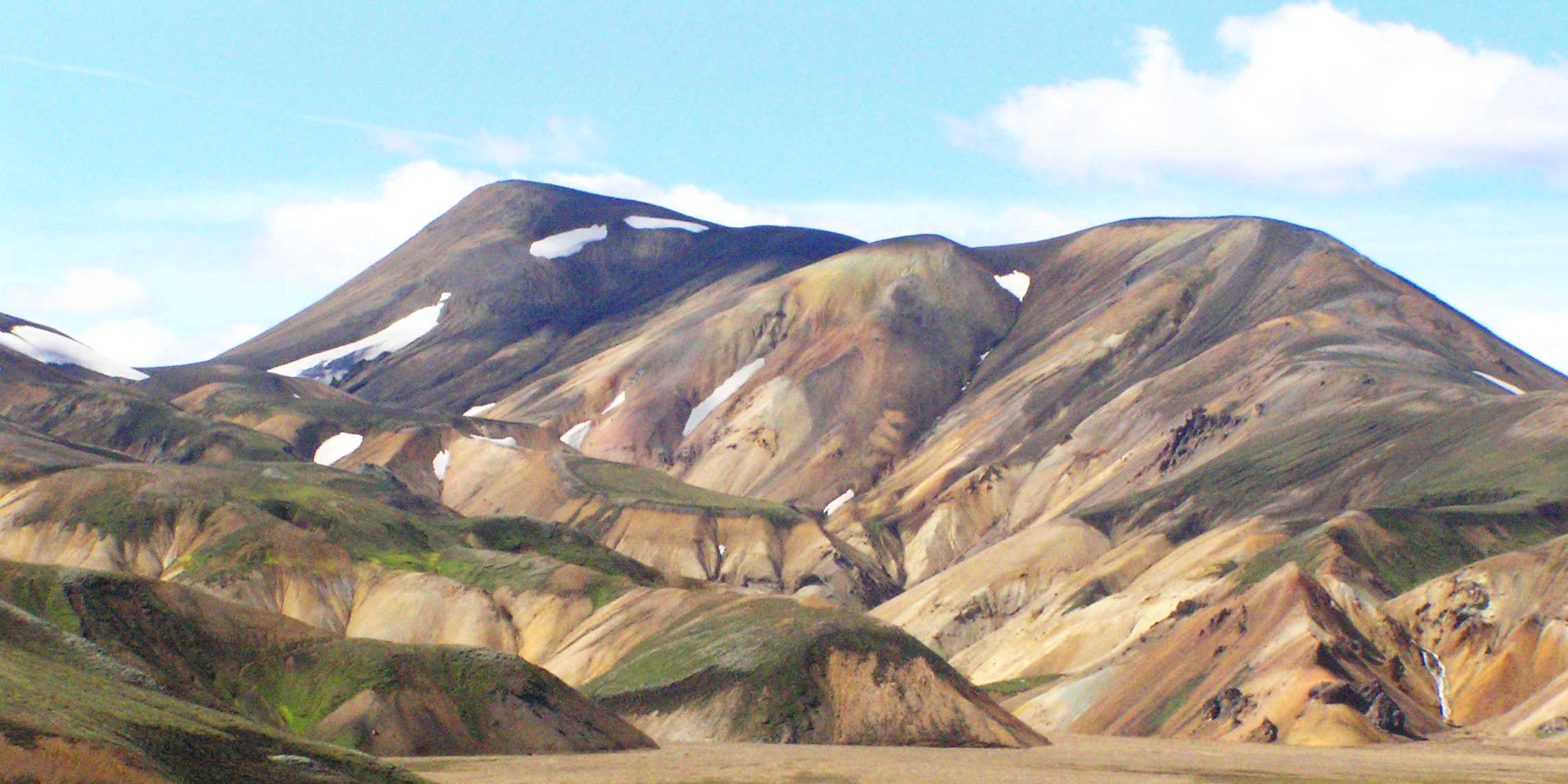
This program asks the big questions about the future of the Earth’s life, climate and landscapes. It explores the forces that have shaped our landscapes and the delicate ecosystems that have emerged. Over the course of this degree, you will develop the scientific knowledge, skills, and field experience needed to understand our dynamic planet.
The first two years of the programme allow you to develop a broad scientific base and explore your interests before specializing in at least two of five areas: biogeography and ecology, climate and weather, GIScience and remote sensing, hydrology, and geomorphology.
Field-based research in almost all upper-level courses allows you to explore your own research questions. With appropriately selected electives, this specialization forms a suitable basis for registration as a Professional Geoscientist, which is legally required of all people practicing geoscience in Canada.
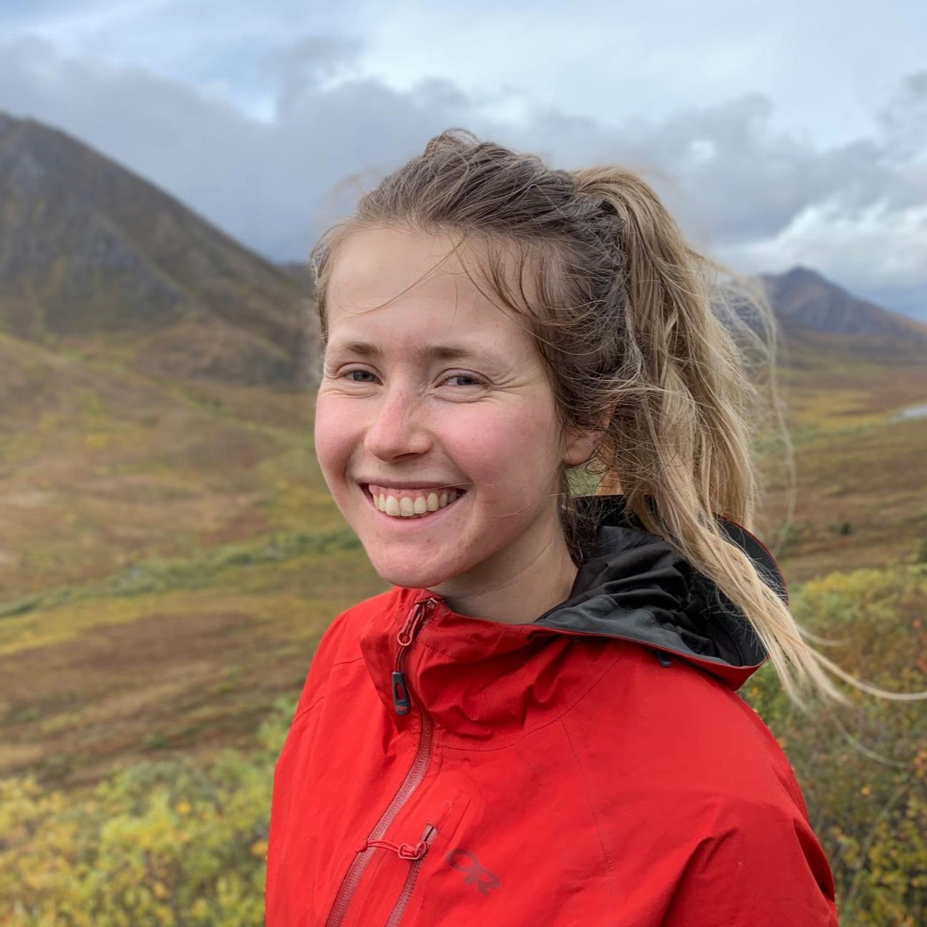
My favourite thing about my current job is the range of areas I get to work in. I get to hike in the mountains and learn about the geography of so many different regions in BC.
Biogeographic studies focus on the ecology at the species, community, and ecosystem levels. We cover topics that include the impacts of global environmental change on plants, biodiversity, ecosystem processes, and human-ecosystem interactions.
Our climatology programme is jointly sponsored by the Department of Geography and the Department of Earth and Ocean Sciences. Topics include meteorology, atmospheric chemistry and air pollution, climate and climate variability, weather and climate prediction, cloud physics, and atmosphere-ocean interactions.
Geographic Information Science focuses on the analysis and visualization of geographic data. Our program covers a range of fundamental issues, from the utilization of remote sensing and satellite data to advanced spatial analysis, species distribution, ecosystem modelling, and the study of disease spread through medical geography.
Geomorphology is the study of the processes that have shaped the Earth’s surface. At UBC, we focus on fluvial processes and landforms in mountain regions, glacial processes, and the Quaternary landscape history of the last 2.6 million years.
Hydrologic research focuses on the flow of water through landscapes. We study how the geological evolution and human use of land collects water, and the impacts on the surrounding environment and populations.