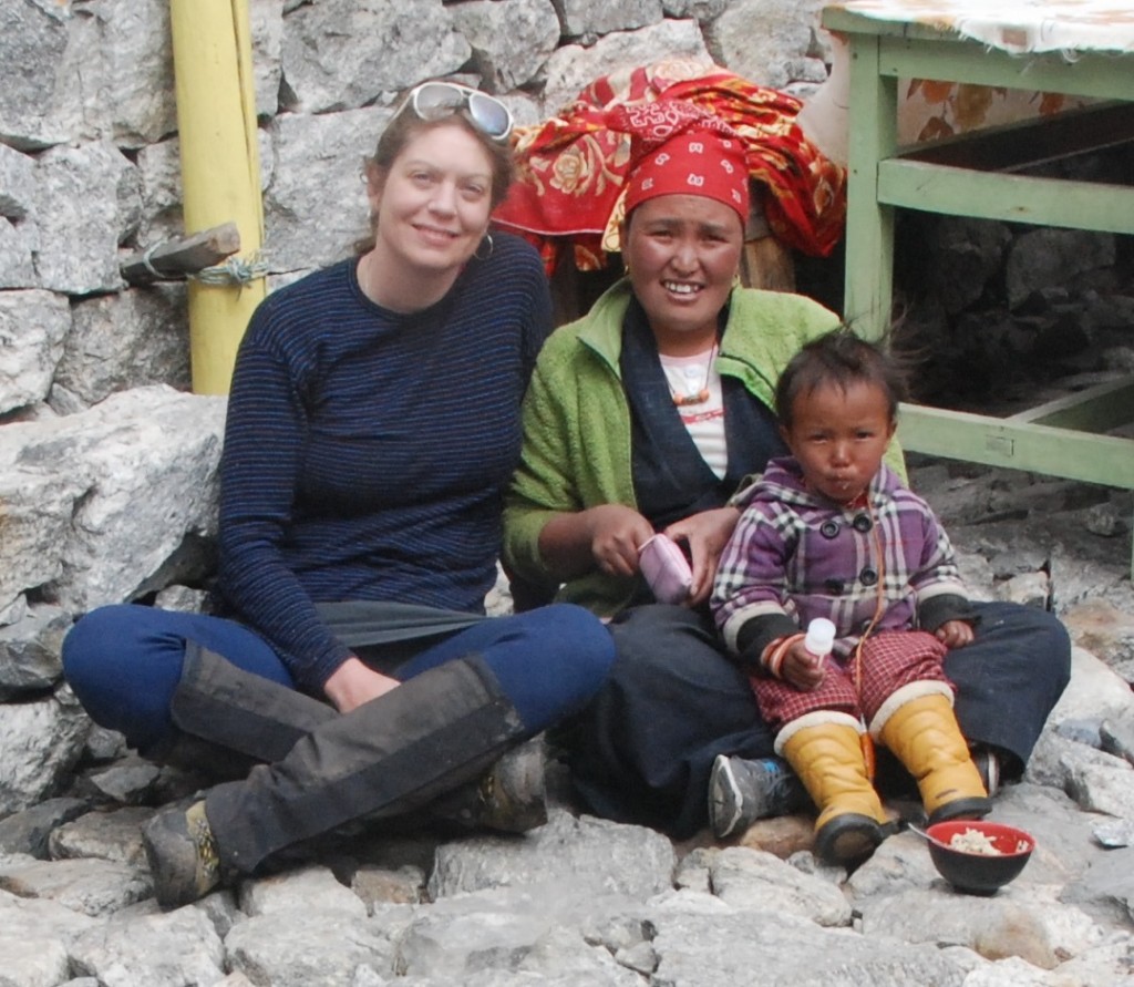

Alex with Bima, co-owner of Bhudda Guesthouse in Langtang Village, and her daughter, March 2015. (Photo courtesy of A. Winter-Billington)
Michele Koppes and I were in Nepal for a glaciology conference in March where we caught up with UBC Geography alumnus Joseph Shea (PhD ’10), a glacial hydrologist with the International Centre for Integrated Mountain Development (ICIMOD), based out of Kathmandu. Then in April, the earthquakes struck. Naturally ICIMOD’s focus has shifted to supporting local rehabilitation (the organization has been awarded a prize for their successful use of GIS in the crisis). A few weeks ago we wrote to ask Joe how ICIMOD’s scientific programs have been impacted by the quakes and had this response from him:
“I was in Kathmandu with my family when a magnitude 7.8 earthquake shook Nepal on 25 April 2015. The shallow earthquake was centred in the Gorkha district, approximately 80 km northwest of Kathmandu, and it had devastating impacts in rural areas where houses are typically constructed of mud and stone. The increased susceptibility of the region to massive landslides during the monsoon is an ongoing concern related to the quake.
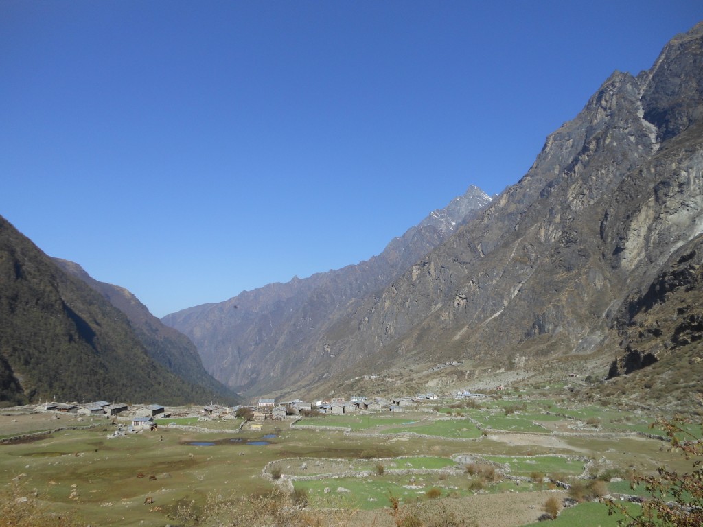
The past three years I have been conducting meteorological, hydrological, and glaciological fieldwork in Langtang Valley, 70 km north of Kathmandu, as part of my work with the International Centre for Integrated Mountain Development. Langtang Village, a picturesque overnight spot on the trek into the upper valley, was completely destroyed by ice and rock avalanches that occurred immediately after the earthquake, and over 300 locals and foreigners were killed.


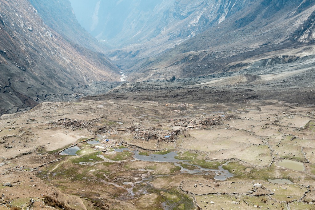
Aerial view of Langtang Village on 8 May 2015 (two weeks after the earthquake). Ice/snow/rock/debris deposits cover the village site and the river, and the impacts of the air blast that preceded the avalanche can be seen in the houses/hotels in the foreground and trees across the valley. A second rockfall buried the village site again on 9 May 2015. (D. Breashears)
This particular event is the subject of ongoing investigation, but our current best guess is that the earthquake rattled the hanging glaciers that surround Langtang-Lirung peak, the highest in the valley at 7230 m. An ice volume of approximately 1.9 x 10^6 m^3 fell down nearly 3000 m, and entrained additional debris and snow as it travelled down to Langtang Village. The air blast that preceded the avalanche may have had a wind speed equivalent to that of a F4 tornado (over 300 km/h), judging from the bark-stripped trees that stretch nearly 1000 m up the opposite valley wall.
While the earthquake had been expected, and we had heeded the warnings to be prepared, natural disasters are still extremely traumatic events. My family was evacuated to India on a C-17 military jet four days after the initial quake, and then flew back to Canada. I stayed on and functioned (barely) for a few weeks before taking a short break to be with my family. We’ve just moved into a new earthquake-approved house here in Kathmandu, and are looking forward to another year. A year to help rebuild the stations in Langtang, to provide expertise in remote sensing and geohazards for resettlement, and to try and remember what stable ground feels like.”
Alexandra Winter-Billington, PhD Candidate with Dr. Joseph Shea


